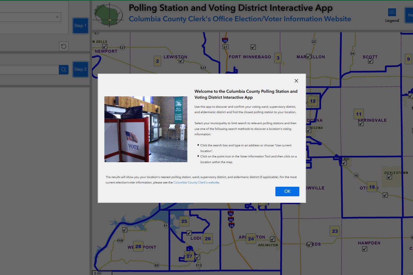
Use our Interactive Voting Information App

Use the app to locate information such as your polling place, ward,
supervisory, and aldermanic district.
Columbia County supervisory district maps are provided in Adobe Acrobat® format. Individual supervisory district maps will be posted as they become available. A free reader can be downloaded from www.adobe.com
County-wide Supervisory District Map
Map Book of Individual Supervisory Districts
Individual Supervisory District Maps